The Link Pathway
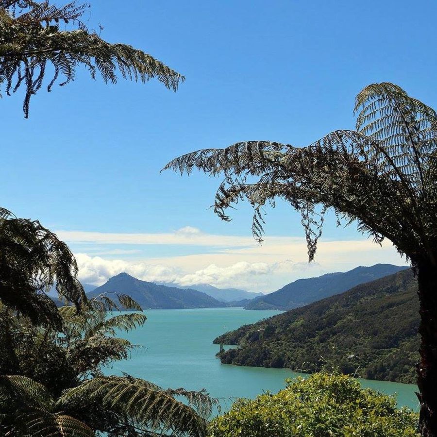
Marlborough Sounds track

Arts Trail
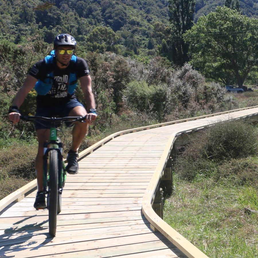
New Zealand Cycle Trail
Walking Track Marlborough Sounds . New Zealand Cycle Trail . Te Araroa trail . Arts Trail
This community initiated project, created a high quality dual-use and free-to-use pathway on public land, linking communities between Havelock and Picton in the Inner Marlborough Sounds. The Link Pathway is 42 k's long, with many shorter sections along the way catering for a range of opportunities and time-frames. Part of the pathway incorporates a re-discovered bridle path that was built in 1862 and has lain abandoned for over 130 years. The Link Pathway passes through a range of features, including sounds foreshore, mature beech forests, remnant podocarps, tidal estuaries, vistas of the inner sounds, and pleasant farm-land. Other existing tracks and trails can be accessed from the Link Pathway, including the Queen Charlotte Track, and the Cullensville / Waikakaho track.
Pathway Map
Click/hover the different sections of the pathway for distances & grades. Read short introductions of each section below the map.
The pathway section descriptions (A - I) run from West to East (Havelock to Picton) however the pathway can be walked / cycled in any direction.
Havelock / Motuweka around Kaituna Estuary
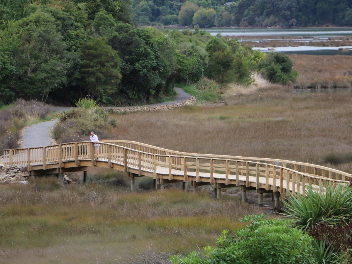
Section A.
A pleasant easy pathway from the Havelock Marina entrance to the Kaituna Estuary, with views out over the harbour, the estuary, and some attractive curved and arched boardwalks and bridges, birdlife and points of historic interest. A side track leads to the outer harbour mole.
Mahakipawa Hill
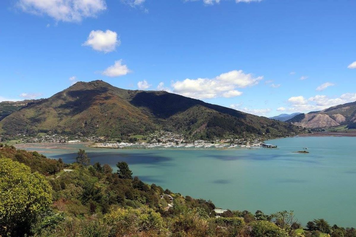
Section B.
A well graded and easy pathway on the Mahakipawa Hill, featuring regenerating bush, small waterfalls, stunning views over Havelock, Pelorus / Te Hoiere River, Inner Pelorus Sound, and Mahakipawa Arm. On a clear day Mount Tapuae-O-Ueneku is impressive to the south.
Lower Mahakipawa
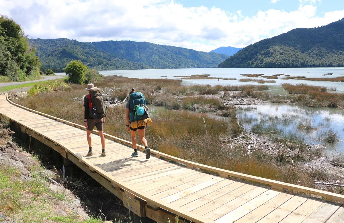
Section C.
A section of pathway that ambles beside the Queen Charlotte Drive always never far from the foreshore. Some nice pockets of regenerating bush, and views out over the Mahakipawa Arm, and usually lots of birdlife. A short section is on the actual road edge.
Linkwater
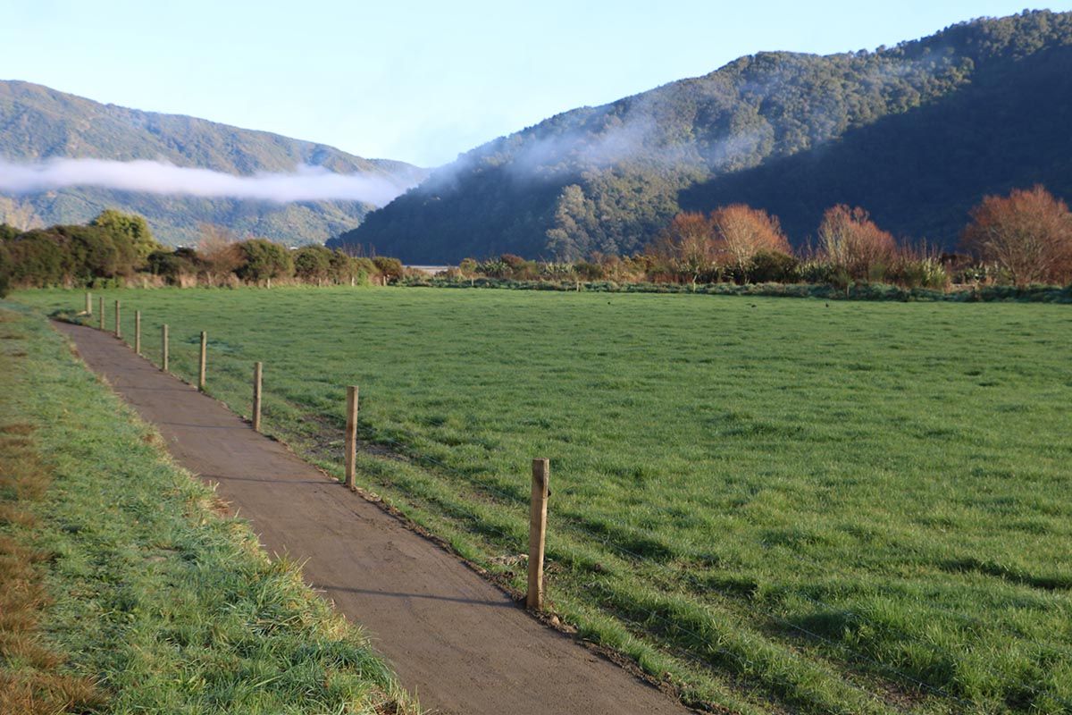
Section D.
A flat and generally straight section of pathway through the pleasant farming district of Linkwater. Nearby is the historic mining area of Cullensville, and the Waikakaho Walkway. A side pathway leads off to Anakiwa, and the start / end of the popular Queen Charlotte Track.
The Grove to Momorangi
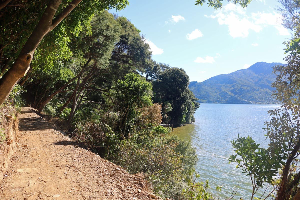
Section E.
From The Grove jetty to Momorangi Bay, the pathway runs between the road and the sea, through mostly native bush and beside some nice beaches and coves, with views out to the Grove Arm and inner Queen Charlotte Sound. Half way along is the pleasant Aussie Bay camping area.
Momorangi Bay to Ngakuta Bay
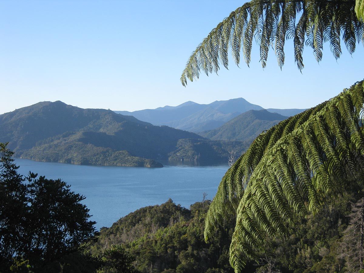
Section F.
From the DOC campground at Momorangi, to the pleasant Ngakuta Bay Foreshore, the pathway is well graded and easy as it winds along the hillside above the road with impressive views through the bush to the Queen Charlotte Sound. The path mostly follows a historic bridle path built in 1862.
Ngakuta Bay to Wedge Point Ridge
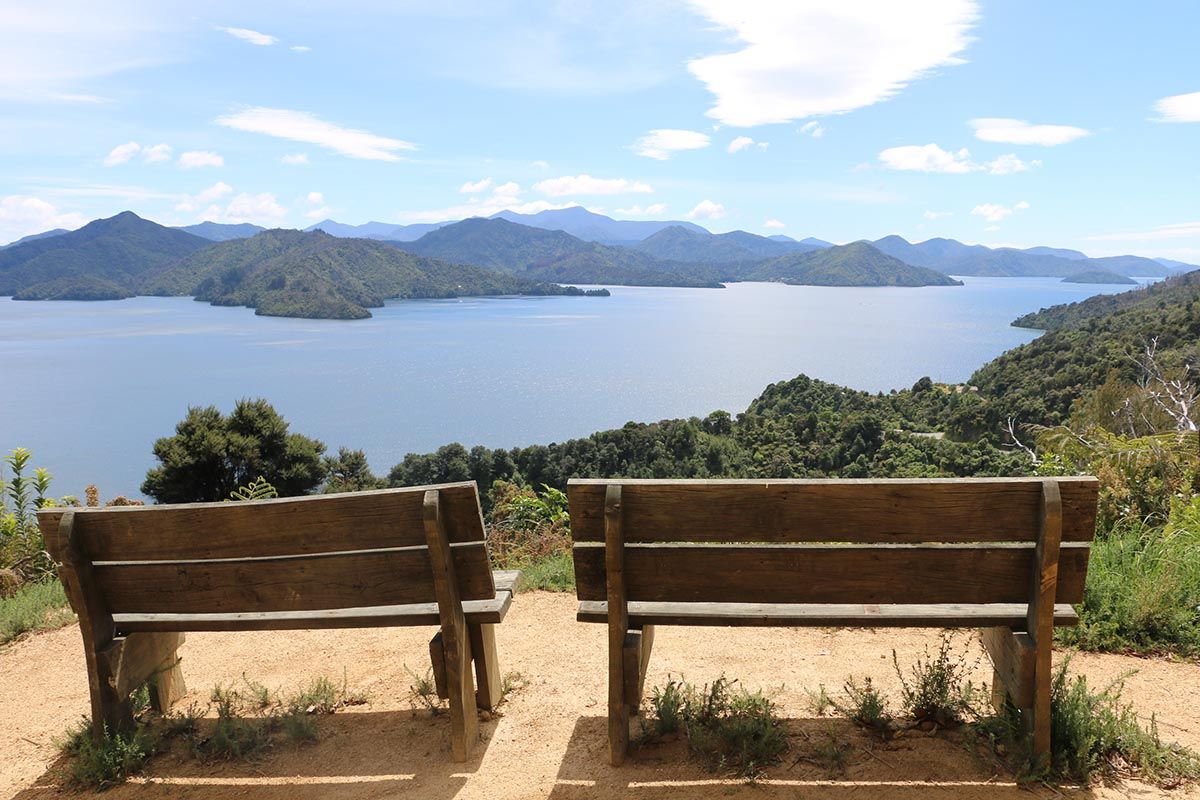
Section G.
The pathway is steep in parts, but worth it for the views on offer along Queen Charlotte Sound and the mature native bush, as it mostly follows the historic bridle path. There is a nice lookout site over Shakespeare Bay, Picton Harbour, and on a clear day, Mount Tapuae-O-Ueneku.
Wedge Point Ridge to Shakespeare Bay
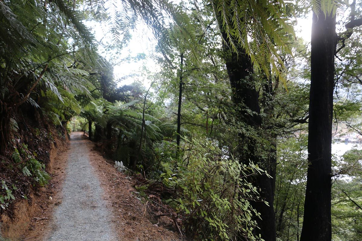
Section H.
This section of pathway meanders around impressive mature beech trees, and a remnant podocarp forest, as it gently descends to the head of Shakespeare Bay. At Wedge Point Ridge, a side track leads to the remains of a World War Two Lookout and Signal Station.
Shakespeare Bay to Picton / Waitohi
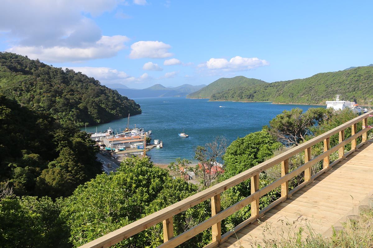
Section I.
The pathway gently sidles around on the seaward side of the road, offering interesting views of the Shakespeare Bay wharf where cruise ships often berth, the expansive Port Marlborough log yard, Kaipupu Point Wildlife Sanctuary, Picton Harbour, and Picton itself.


